Portolan refers to navigational charts dating back to the Renaissance. They were focused on coastal outlines and included seaports, river openings, shoals and hazards. The distance from one point to another was always included. Latitude and longitude were not features on the maps, neither was interior land. Portolan comes from the Italian adjective “portolana” meaning “related to ports or harbors”.
Marine & Freshwater Environmental Education
Follow BCS on Twitter
My TweetsWant updates on BCS posts?
Scroll through the BCS archives …
Learn more on …
Random posts from BCS …
12 bite-sized shark posts (holding the hokey here)
Ok, maybe not so much in the title. Did you know sharks have roamed the earth for 400 million years and have been instrumental in maintaining healthy ocean ecosystems? They’re amazing creatures and in case you’re actually interested in learning about sharks (instead of becoming frightened by them while watching Shark Week), here are 12 […]
Blue Sway – Paul McCartney
Surfrider Foundation recently released a new PSA by filmmaker Jack McCoy with a previously unreleased song, Blue Sway, by Paul McCartney. The song has been released on his McCartney II which was distributed by MPL and Concord Music Group on June 14. If you like this song you should also check out McCartney’s (aka The […]
Beach trivia
Can you name the world’s longest beach (at 76 miles long!)? Want to find out the location of the famous beach from the movie “From Here to Eternity“? Did you know that a beach on the west coast of Florida is the top spot to find seashells in the U.S.? You can learn all these […]
What they’re into … with Harold Johnson (The Flotsam Diaries)
Yesterday I promised more insight into one of the featured marine debris heroes as part of the “What Marine Conservationists Are Into …” series are here you have it – The Flotsam Diaries own Harold Johnson! In case you didn’t know this is a series I have been presenting each Tuesday this summer to get […]
Facts about ‘Finding Dory’ friends
Maybe it’s because I’m a full-time teacher now, but my favorite character in Finding Dory is the Sting Ray. I mean, if it wasn’t for the class trip to learn about migration Dory – the blue tang with short-term memory loss – may never had thought about “going home” and the trek to look for […]
Colorful coquina clams sign of healthy beach
Those tiny, colorful clams with two siphons poking our of their shells that emerge quickly once the waves wash gently ashore are known as coquina (ko-KEE-nah) clams. These bivalves rarely exceed an inch long and are indicators of a healthy beach. If eroding beaches are constantly being renourished, coquina clams, as well as other sand […]
Ringing in the New Year with Carnival of the Blue
Here it is January and we’ve all sang our last rendition of ‘Auld Lang Syne’. Conversely, what this Beach Chair Scientist has to say is that these marine science bloggers should not be forgotten! As the host for the Carnival of the Blue No. 44, I proudly bring to you these powerful, poetic, funny, insightful […]
Oh, Bermuda Triangle, where art thou?
Do you have another great question? Check out www.beachchairscientist.com and let us know what you always ponder while digging your toes in the sand or e-mail beachchairscientist@gmail.com. Image (c) behindblondiepark.com
What is your fish of the day?
When you are going out to eat and want to eat seafood that is good for you and good for the sustainability of the ocean carry around the Monterey Bay Aquarium Seafood Watch pocket guide. It lists the best choices, good alternatives and what to avoid. This guide can be downloaded and printed out, is […]


Resources & more …
Flickr photos …
What people are saying …
- Robert Emahiser on Why you should never walk on dunes
- Lesa on 10 brief facts on bioluminescence
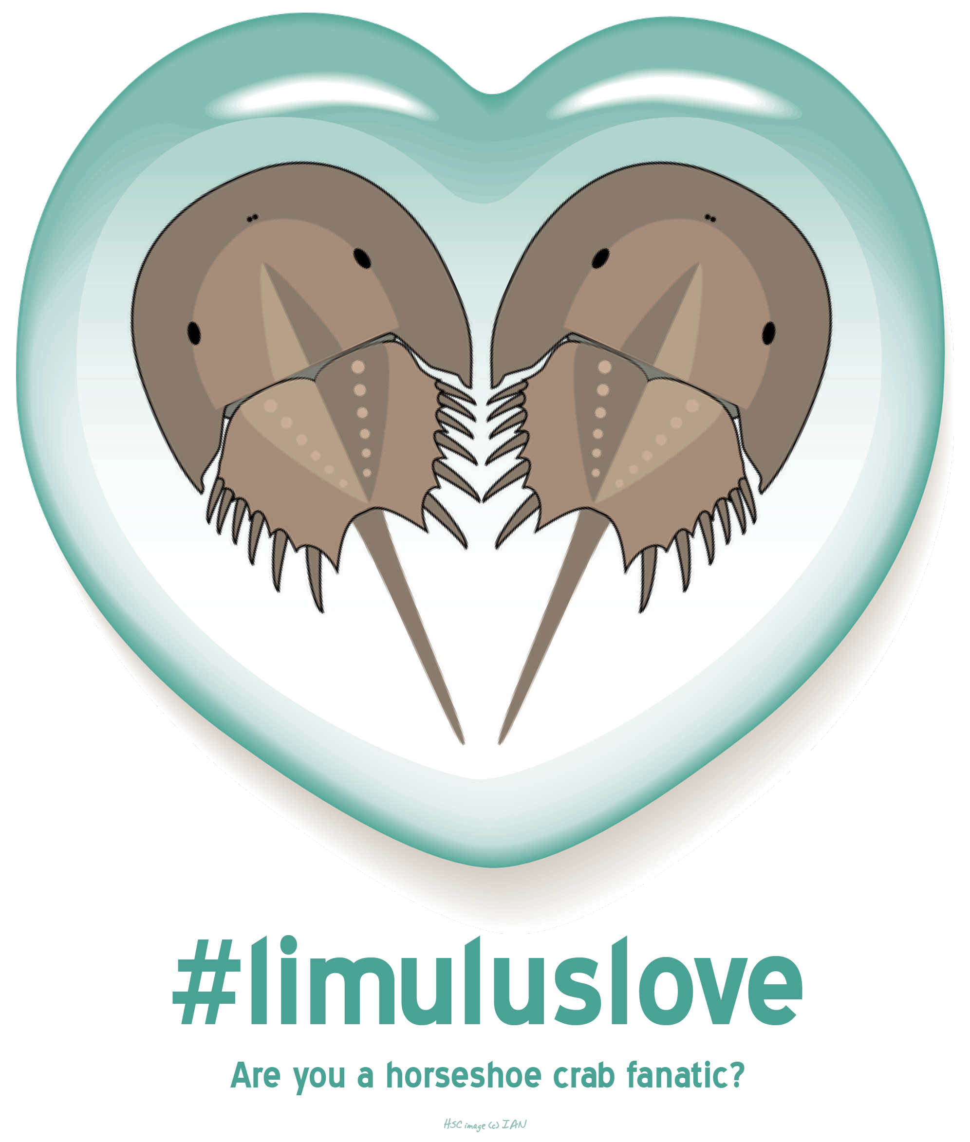
- Lisa on Limulus Love
- Beach Chair Scientist on 17 facts about the wee sea potatoes
- Bernard Rejterada on 17 facts about the wee sea potatoes
- Brian on What is the difference between a summer and winter flounder?
- Inbound marketing on 15 facts about the Portuguese man-of-war that’ll have you saying “Didya know…?”
- Donnie Huckabee on Wordless Wednesday | Shell art
- John on Why you should never walk on dunes
- ItzJaylaD on What I know about whale sharks
Top posts & pages from BCS …
- Hurricane vs. Cyclone vs. Typhoon
- A House for Hermit Crab
- How to handle a horseshoe crab
- Snot's your house
- Wednesday Wisdom: Various quotes (Alaska scenes)
- A naturalist's must-see destination: Fossil Hunting at Bayfront State Park in Chesapeake Beach, MD
- Belly biology creates lasting memories
- Five awful puns about courtship in the sea
- Horseshoe crabs confirmed as members of arachnid family
- Beyond the bag: Other plastics being banned
Speak Your Mind