I will get into more detail quickly, but, want to mention that marine spatial planning is gaining a lot of momentum these days because it is part of creating the National Ocean Policy.
A National Ocean Policy was recommended by the Pew Oceans Commission (in 2003) and the US Commission on the Oceans (in 2004) after these organizations observed that the ocean is “ruled” by over 140 different laws and 20 different organizations to implement these laws. Currently, there is an Ocean Policy Task Force working diligently to streamline the governance of the ocean. Last month, the Task Force released a framework for creating the National Ocean Policy (open for comment until mid-February 2010).
This framework for creating the National Ocean Policy has some core themes that may already be clear to you. For instance, for the planning of the policy the Task Force wants to create an atmosphere of transparency and make certain that all stakeholders have the opportunity to voice their opinions and ask questions about the changes that may occur. Also, the Task Force wants to plan and implement the policy with (not for) state, tribal, regional and local authorities.
The framework for creating a National Ocean Policy also has some core themes that are rather new to traditional ocean governance.
First, the framework mentions that the Task Force will use scientific data (coupled with traditional knowledge) when making decisions.
Secondly, and this brings it full circle, the Task Force will take an approach called Marine Spatial Planning when creating the new laws that will eventually come to be known as the National Ocean Policy.
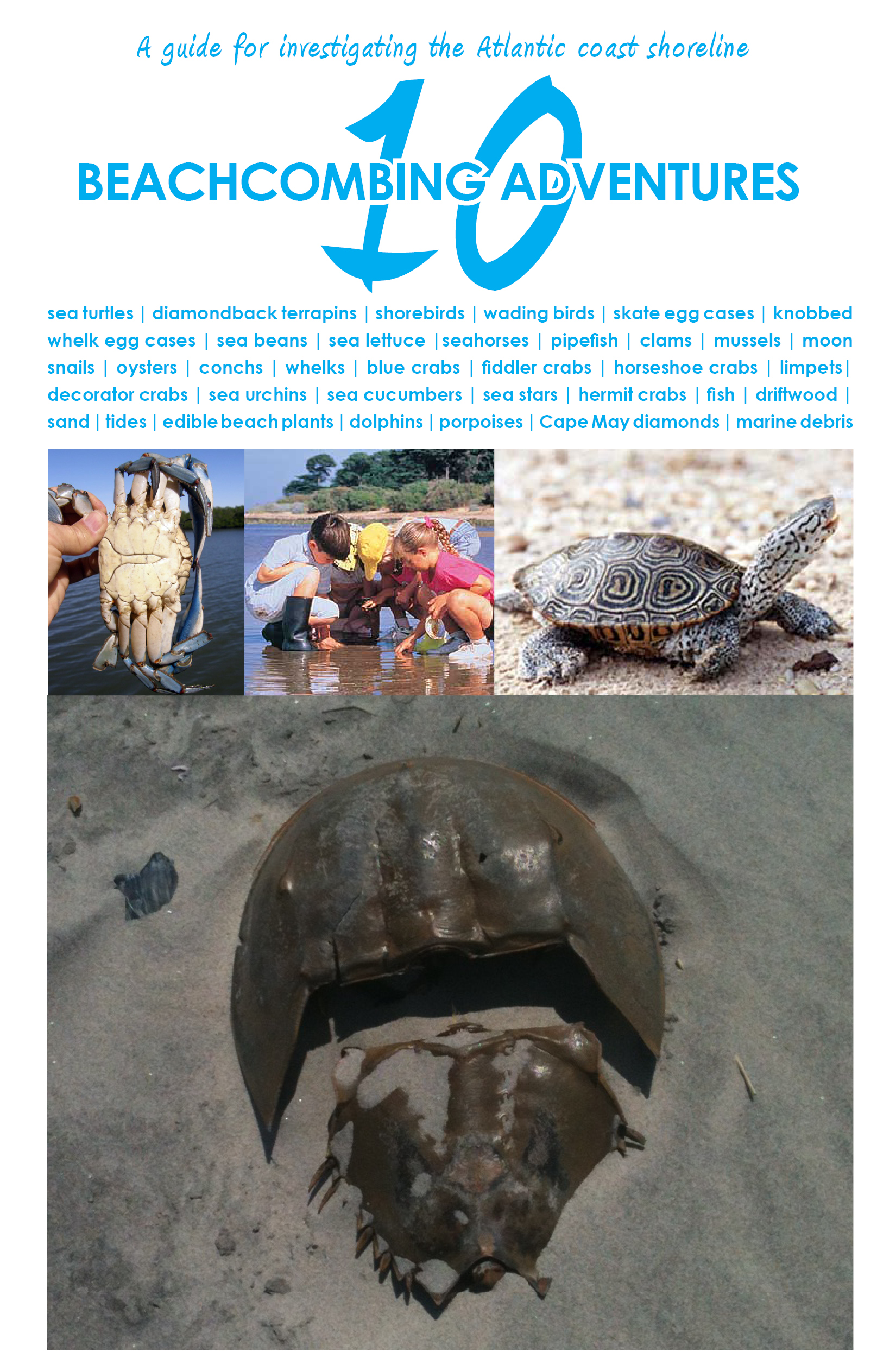
Marine spatial planning is a unique way to look at the ocean and who uses it. For instance, when we look at the Gulf coast of Florida it is a patchwork of various authorities. There are fishery management plans, marine protected areas, and oil and gas leases that mandate permissions to that coastal area. Marine spatial planning will consolidate and bring these patches together for a better understanding of what and who is using our oceans. Imperative to the concept of marine spatial planning are good maps (see below for example). These maps will help create less conflict and more comprehensive approaches to how we use our oceans. Rhode Island and Massachusetts already have marine spatial planning as a tool for making decisions.

image (c) Ocean Conservancy.
Want to tell President Obama
you support the creation of
a National Ocean Policy? Write him a letter.
Do you have another great question for the Beach Chair Scientist? E-mail info@beachchairscientist.com or enter it at http://www.beachchairscientist.com.


Speak Your Mind