13 apps for your day at the beach

It’s time to get the most out of that last trip to the beach!

Whether you’re ready for a day out on the boat, lounging, beachcombing, catching some waves, or preparing a feast there is an app to get you more involved in your marine environment. Apps are not only a great way to learn something new on the fly but can be a useful tool for engaging one another in settings where you may not have common ground. (OK, at the very least apps settle many ‘discussions’.)

Here is a list of useful and rather attractive apps that can connect you to your inner marine biologist.

AUDUBON FIELD GUIDES: Audubon Fishes of the Caribbean and the Gulf of Mexico and Audubon Fishes – A Guide to North American Fishes include photos, geographic ranges, and concise yet detailed descriptions of appearances. Coming soon is the field guide for the Mid-Atlantic shoreline. ($9.99)

OCEANOGRAPHY STUDY GUIDE: If you are into fun oceanography trivia and want to learn more about the geography of the sea than download this app. It isn’t an endless list of “did you know?” facts but rather a large range of topics with well written articles for the serious beach chair scientist. ($4.99)

OFFICIAL APP OF ISSF: The International Seafood Sustainability Foundation (ISSF) was founded in 2008 when leaders of industry, scientists and environmental champions voiced concern over the future of tuna fisheries. This app provides a glossary of terms, videos, and a list of the status of stocks. (Free)

SEA TURTLE APP: This app was created by the Sea Turtle Conservancy and allows you to follow read the latest on sea turtle news but much more exciting you can track the global migration of different sea turtles with interactive satellite tracking maps! (Free)

Enough sitting around – it’s time to get out there and do something:

MOBILE APP FOR IGFA: The International Game Fishing Association created an app for weigh station locations, angler rules and regulations, customizable quests, and advice for trip planning. What more does a sport fisherman need?

MARINE DEBRIS TRACKER APP: This collaboration is brought to you by the Southeast Atlantic Marine Debris Initiative. The reporting of where you find marine debris can help to focus and prioritize federal efforts. The app uses GPS and allows you minimal work of sorting through lists of common marine debris. (Free)

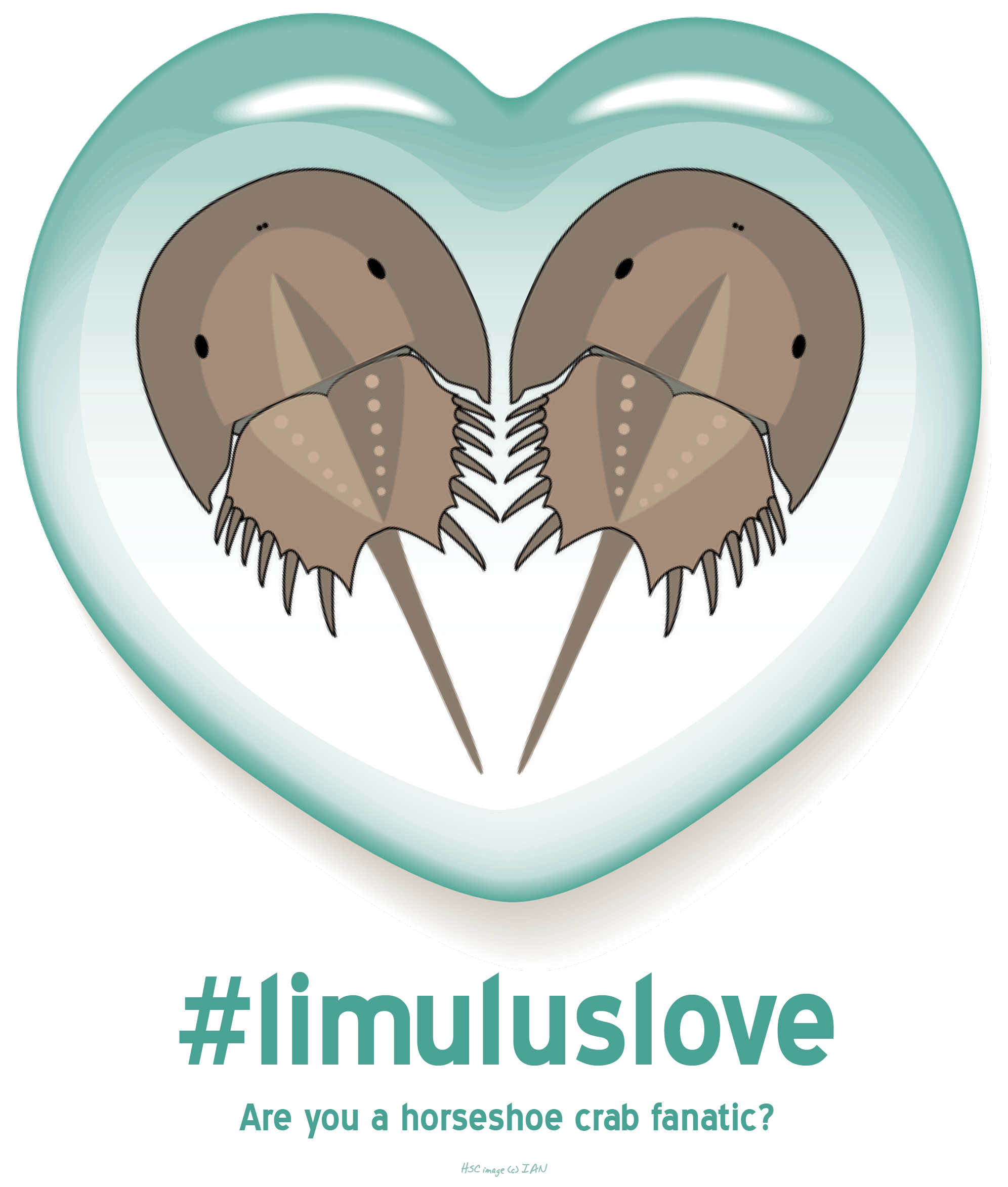
CRAB APP: This app is an offshoot from the marine wild lab and allows you to collect horseshoe crab species data that will be used in scientific research. Horseshoe crabs are of enormous importance to 1) the drug industry due to their blood, 2) to fisheries for bait, and 3) to migratory shorebirds for its eggs.  (Free)

TIDE GRAPH: I found out that there are many, many apps out there to help you monitor the tides. Tide Graph will work for both coasts in the US and provides graphs to help you see how the tide changes over the day and the month. ($1.99)

If you are preparing a feast or gorging on some dockside seafood:

SEAFOOD WATCH: For years the Monterey Bay Aquarium has produced adorable pocket-sized regional cheat sheets so you can get a quick overview of what species are considered over fished or not in your neck of the woods. They continue to produce this application for your iPhone and use GPS tracking to discover where you are so you can get the most relevant information. (Free)

PROJECT FISHMAP: Monterey Bay Aquarium also gets you more involved by asking you to submit information when you find a restaurant or market that advocates sustainable seafood. As the map grows you can see what spots you’ve not uncovered in your neighborhood. (Free)

FISHPHONE APP: With one quick text (example: “fish salmon”) to 30644 Blue Ocean Institute will fed you intel on your species of choice. For instance, they’ll rank the sustainability and toxicity levels and send an overview of its conservation status. (Free)

SAFE SEAFOOD: This app takes information from ten different seafood rankings (including Monterey Bay Aquarium and the Environmental Defense Fund) to create its list. The app outlines choices in an easy to review “best to worst” list. I particularly like that fish with multiple different market names are listed by each of common name too. ($0.99, but 10% of the proceeds go to EDF)

I am certain I missed many wonderful apps. Please do not hesitate to email at info@beachchairscientist.com to share!

Added October 27, 2011: An app for water quality and to get the most up-to-date grade for your beach presented by Heal the Bay in California.

Save Our Seas Foundation

In case you didn’t notice, every month I like to share one of my favorite marine science conservation website or blogs. And, even though I just posted on The Daily Ocean I want to highlight the Save Our Seas Foundation.

This is the organization (or ‘organisation’ since they are based in Switzerland) that produces the Naked Oceans podcast (one of the 8 great podcasts listed on the right sidebar). The website for this major player in the fight to save the world’s oceans manages to be in-your-face while still maintaining class and a jovial nature. They cite important messages in large font in the center of the page followed up with bullets and lists (see the threats page for a great example of this).

Also, the blog for Save Our Seas Foundation posts pertinent information (in an easy to digest language) about the research projects their own science team is conducting with pictures they actually took in the field. A lot of the focus of their research is on sharks. Recently they hosted a Dutch film crew doing a documentary between the relations of sharks and surfers (no, they aren’t cousins).

All in all, it seems as though the people working with the Save Our Seas Foundation are dedicated, passionate, and fun and I hope you follow and support them in the future.

North Carolina: The mecca for marine science?

We all know North Carolina has research triangle between Raleigh-Durham and incorporates Chapel Hill. But, did you know that there is a marine science research quadrant in the state as well. First, you have the Division of Marine Fisheries in Morehead City (as well as the Duke and NOAA labs in nearby Beaufort). Next, in the center of the state you have the universities in the traditional research triangle. Then there are aquariums, nature reserves and UNC Coastal Studies program in the northeast Manteo area. Lastly, the National Undersea Research Center and the Coastal and Ocean Research and Monitoring Program are both located in the Wilmington area. Wilmington is also home to the state’s Sea Grant program as well as the Cape Fear Community College‘s Marine Advanced Technology Engineering program. Please click on the image below for a far superior version.

Image (c) ncmarinescience.com

How deep is the ocean?

A picture is always worth a thousand words. So, to illustrate this question I’m using a nifty infographic from Our Amazing Planet relating the world’s tallest mountain to the ocean’s deepest trench. This poster will show you where Denver is in to relation to your average plane flying overhead and how deep sperm whales dive in relation to where the Titanic wreck was discovered!

Our Amazing Planet explores Earth from its peaks to it mysterious depths.
Source

The Majestic Plastic Bag

Narrated by Jeremy Irons, here is a clip from the “mockumentary”, The Majestic Plastic Bag.

May 22 is National Maritime Day

In observance of the anniversary of the first transatlantic voyage on May 22, 1933, Congress has set aside this day to recognize those in the maritime industry.

The North American Marine Environmental Protection Agency (NAMEPA) and the North American Maritime Ministry Association (NAMMA)  are teaming up for their fourth National Maritime Day celebration next week in D.C.

At the National Press Club on Monday, May 23rd there will be a seminar, “Safety at Sea”, focusing on environmental intelligence in shipping. Later that day will be a National Maritime Day dinner and awards presentation.

This year’s celebration is particularly special now that NAMEPA is over 100 members strong! Click here if you’d like to learn more or are interested in becoming a partner.

Not in D.C.?

For some festivities remotely you will want to check out these virtual exhibits celebrating life at sea from the Smithsonian National Museum of American History. You can get the narrative of an English sea captain from 1680 or hear ‘Away Rio’ a little diddy about an outward-bound chantey filled with sailors facing homesickness and other hardships.

Related articles

Deep sea neighborhood sees improvement when philanthropic vents release Fool’s Gold

“As iron sharpens iron, so a friend sharpens a friend.” King Solomon

There is not a lot life down in the deep sea. Fortunately, it is convenient that the hydrothermal vents down there share a wealth of minerals to the otherwise desolate neighborhood. More notably what was just uncovered is that iron particles (known as pyrite or commonly called Fool’s Gold) are released by the vents and suspend in the nearby environment. This discovery was made by researchers at the University of Delaware.

While it is not surprising that these vents release iron, what is shocking is that it does not fall directly to the bottom of the ocean floor as previously thought. Since the size of the iron particles that are released by the hydrothermal vents are so tiny (a diameter 1,000 times smaller than that of a human hair) they are actually dispersed throughout the water column of the deep sea this is turn helps create a richer more vibrant deep sea neighborhood than deep sea areas without vents.

“As pyrite travels from the vents to the ocean interior and toward the surface ocean, it oxidizes gradually to release iron, which becomes available in areas where iron is depleted so that organisms can assimilate it, then grow,” said scientist George Luther of the University of Delaware.

Bookmark and Share

How to win a game of Survivor if stranded on a beach

DewberriesWhile I am not here to tell you how to form alliances, I can mention some edible seaside plants found along the Atlantic coast. These include: Sea rocket, sea lettuce, prickly pear, bull thistle, dewberry and winged sumac. You can eat the blackberries of the dewberry with milk and honey. For a refreshingly cool drink soak winged sumac in cool water for 15 minutes. Devour the sweet pulp of the prickly pear after you peel away the skin. Add the leaves of sea rocket and sea lettuce to a fresh seaside salad. Lastly, gorge on the stems of the bull thistle (of course, only after you’ve removed the thorns!).

Related articles

Bookmark and Share

May is National Wetlands Month

US-EPA-Seal-EO11628

Image via Wikipedia

In 1991 the Environmental Protection Agency (EPA) declared May to be National Wetlands Month. They set aside the day to celebrate the economic and ecological value of wetlands and educate America of the natural resource. Throughout the country events take place to encourage you to learn more about wetlands and take action to restore them. Whether your neighborhood wetland is a swamp, bog or tidal marsh these areas are vital filtration and storage areas, as well as, nursery grounds to continue biological productivity in our local watersheds and beyond. Unfortunately these areas are threatened and their biggest enemy is mankind. According to the EPA, “Urban and rural development is now the leading cause of wetland loss, accounting for nearly 60% of freshwater wetland loss nationally.” Good news though is that on April 27, 2011 Lisa Jackson (Administrator of the EPA) work with others to get the Obama administration recommitted to recognizing the importance of clean water and healthy watersheds.

Surf Your Watershed is a great place to find out if there is a local organization dedicated to protecting your local wetland.

It’s as easy as A, B, Sea: W for Weddell Sea

Weddell Sea is the southern most part of the Atlantic Ocean and is usually ice filled. It was discovered by James Weddell in 1823.

Image (c) abc.net.au